
On Saturday, January 8, 2011 the crew from Northwest Florida State College took their first official hike on the Florida Trail. I organized a trek that was to run from North Hurricane Lake Campground Road 5.1 miles to the Alabama border and the starting point of the Alabama Trail and back. By the time we'd finished, however, we'd covered a total of 12.77 miles according to Ben Gillam's Dick Tracy GPS watch.


We arrived at North Hurricane Lake Campground and began the hike at 9:15 am. The first portion of the hiked followed along the east side of Hurricane Lake. For the first two miles we trekked through a pine and palmetto forest with pleasant views in all directions.


On at least two occasions the trail dipped down into two small Titi swamps (pronounced Tie-tie according to the internet). While these were a bit muddy, it was easy enough to move through without disturbing the mud or the foliage. We spaced ourselves out on the trail in order to enjoy nature and agreed to meet up at 10:15. The photo to the right shows all hikers save the photographer. The handsome young man in the front center is my youngest son, Beau, who has limped around the house sore from the hike for two full days now.
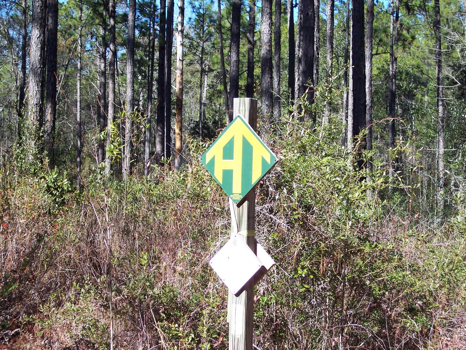

During the next couple of miles we passed through a portion of the forest that had undergone a "controlled" burn in the past few months. Such burns are held to keep the undergrowth down so that a major burn is less likely to happen. Mature pines tend to endure these burns and, in fact, benefit from the heat as fire helps their cones to open and release seeds. We came across several skeletal remains of animals in this area. The bones were picked clean and were not burnt. I suspect smoke inhalation got them. We believe we saw several Mule Deer remains, two horse or mule skeletons, and a pelvis and leg bone structure of a wild boar or feral pig. Of course, I was interested enough in these skeletons that I forgot to get a picture. We arrived at the start of the Alabama Trail in good shape. The Alabama Trail uses a signpost similar to that of the Florida Trail with AT set in a format resembling a Trail Shelter (picture above left).


The hike back was uneventful and, consistent with my hiking in Vermont, I took several photos of steams that we crossed. The moving water streams were very clear and clean looking. Their most likely source is seepage from the Florida Aquifer, an important underground water system serving most of the state. We arrived back at our vehicles at 2:00 pm having covered 12.77 miles in 4 hours and 45 minutes for an average pace, including breaks, of 2.7 miles per hour.

So, do you get a cool badge for doing this whole thing when you complete it?
ReplyDelete