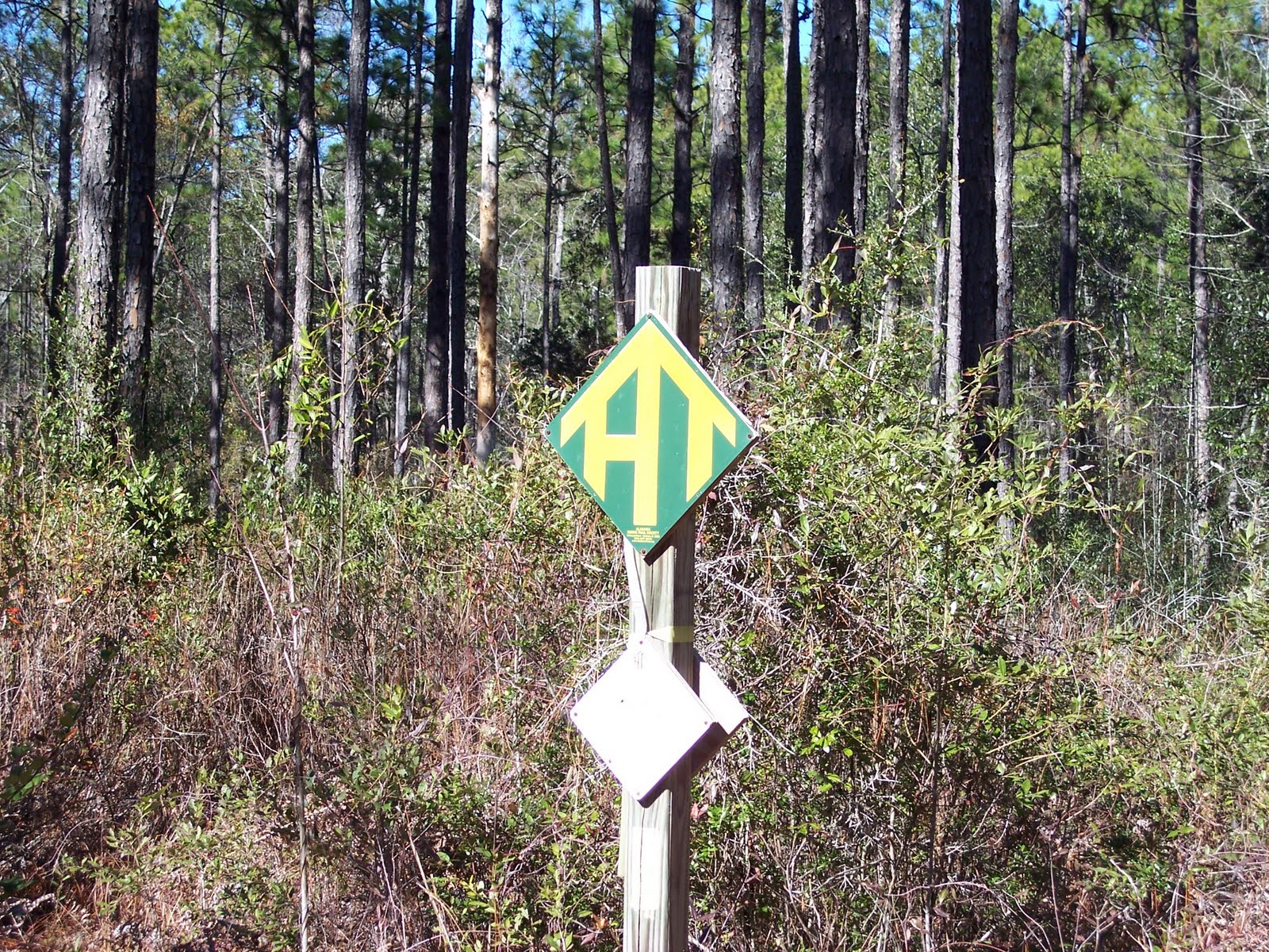
On Sunday, January 15, 2011 the NWFSC hikers took trek number 2. We dropped two cars on Beaver Creek Rd. in a location we hoped was close to where the trail would emerge as we were unable to find any trail markers. We then drove two other cars to the North Hurricane Lake Campground and the start of our hike.

 We began hiking at 9:20 am in weather that was cool enough to make your hands tingle but not cold enough to make them numb. I'd guess it was about 47 degrees and overcast. In short order, we arrived at the Hurricane Lake Dam and crossed the dam on a well mowed path.
 We then reenter the forest and begin working our way south and east. We cross Kennedy Bridge Road after 1.4 miles and, in another 1/2 mile emerge on Kennedy Bridge Road again where we cross a bridge over the beautiful Blackwater River. As you can see the river is misnamed. The sand is the same as you find on our Emerald coast and it washes down from the Appalachian Mountains as the limestone erodes. These are easily the whitest beaches in the world. This claim can be verified by visiting the Okaloosa Island Visitor's Center where an exhibit shows sand from many of the world's beaches - none are a white as here.
 We reenter the woods after crossing the bridge and hike 3.0 more miles to Honey Creek. Along the way we get several nice views of the Blackwater River. We also come to a patch of what looks like cane to me but is identified by one of the hikers as Titi (Tie-tie). See photo above left. If this is correct then the bushes photographed in my last blog and identified as a Titi swamp is inaccurate.
 We cross Honey Creek on a nice "ramp". The Creek is very clear as pictured (left). I am a bit stumped by several of the wood ramps we cross on this hike. Most ramps use cross members that set on the ground with two 2x6s or 4x4s nailed on top to form the walking surface. Most of the ones we encounter today have three 4x4s spaced a few inches apart. For the life of me, I can't figure why three are used instead of two. I'm only physically capable of using two at a time given that I only have two feet. It seems a waste of material and a lot of extra hauling of resources to the ramp site, if you ask me. We now enter a section of forest that has recently been burned. So recently, in fact, that you can smell the soot.
 In short order we arrive at the junction with the Jackson Guard Red Trail. We have now covered 6.5 miles so we are just over half way through this hike. We break and rest at a picnic table located at the trail junction. The trail we have just finished is known as the Wiregrass Trail. After a few minutes rest, I point out that, if we rest much longer, I'm going to feel the need to appoint everyone to an ad hoc committee and have us do some productive work. We promptly head on down the trail. Along the way we come to more Titi so I take another picture. The Jackson Guard Trail is so named because Andrew Jackson led 1,200 soldiers along it in a failed attempt to remove the Seminole Indians from Florida in the 1800's.
 Over the next mile or so we cross a section of forest that has been so recently burned it is still smoldering in places. 9.1 miles into the hike we emerge on the paved Peadon Bridge Road and begin a 0.8 mile walk along the roadside. We cross back over the Blackwater River during this section and I take a couple more shots of these charming waters. If it was 70 degrees out today, I would probably have gone for a swim.
 After crossing the river we come to a dirt road that we turn off of the pavement to hike along. We soon come to the Otahite Cemetery. This family cemetery has about a dozen occupants with many of the burials taking place in the 1870-1900 time frame. Of course, we stop to study the markers but I forget to take a photo. We follow this road for about 1/2 mile until we come to a shelter on the left. This shelter was built for hikers as an Eagle Scout project and is a lean-to smaller, but not unlike, those I slept in on the Vermont Trail. In keeping with my negligence, I forget to take a photo of the shelter.
 Directly across the dirt road from the shelter, we reenter the woods and continue to hike southwest toward our destination. We have spaced ourselves out during this section of the hike and I am a few hundred yards behind the leaders. At 12.6 miles the leaders reach Beaver Creek Road and I here a cheer from them. I figure this means that we left the cars in sight of the trail and we don't have to hike along the road to find the vehicles. As I emerge from the woods I find the group gathered around a State Forest Officer and I figure we may be getting in trouble for something. Not so. He just saw the group and stopped to chat. The cars are less than 100 yards from the trail so we guessed right when we dropped them off. It is about 2:00 pm and we have hiked 12.6 miles at a 2.8 mile per hour pace even though this section was a bit more hilly (not to any of you Vermonters following this blog, of course) than the first hike.