On a cool Sunday morning (42 degrees) October 23, 2011 eight of us arrive at the start of our hike on Hwy. 20 in Bruce, FL. We take the obligatory starting photo and head out at 8:05 am. The first 4.9 miles is along the highway. We hike on the side of the road and make impressive time reaching our first turn by 9:40 am. Along the way we cross the impressive Choctawhatchee River.
 We walk along several other roadways as we wind our way through a sparse but pleasant neighborhood finally reaching true trail at about the 6 mile point. We walk through a pine forest and see several natural ponds.
  The largest of the ponds must be named Sand Pond as there is a Kiosk with that name on it in a very pleasant State Forest Park located just south of Ebro. I will definitely be bringing Kim back her some day for a picnic and a stroll.
  At 6.7 miles we pass the campground fee station and head back into the woods. we cross a blue-blazed trail called the Dutch Tiemann Trail. The map shows this to be a 5.1 mile loop. I'll have to return someday and hike it as well.
 At 7.7 miles we join up with the new SR 79 to cross Pine Log Creek. The new overpass comes complete with a gravel walkway beneath the bridge and a private walkway over the bridge (separating us from traffic with a concrete barrier). Florida is apparently starting to take the Florida Trail seriously and planning for it in their construction projects. We follow beside Pine Log Creek as we enter the thickest woods we will hike through today.
  Even though the path is winding, it does not have many roots and we soon emerge at a sign that detail information about the oldest roadway in Florida. This old military road ran between Pensacola and St. Augustine serving to connect the Gulf Coast with the Atlantic Coast. Eventually, the state established its capital city, Tallahassee, along this roadway in between these two important trading outposts.
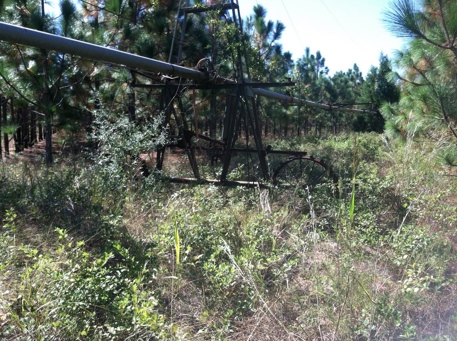
  At 8.0 miles we reach another sign marking the roadway. at 10.7 miles we cross Ditch Branch on a small foot bridge. At this time we begin a hike along some power lines. After about a quarter mile we cross under the power lines and make a 180 degree turn in order to follow an old roadway that, eventually, leads us to our ending point on Hwy 20.
We reach the end at about 12:30 pm having covered just shy of 13 miles in about 4.5 hours.